Enhancing Mangrove Conservation with Advanced Drone Technology
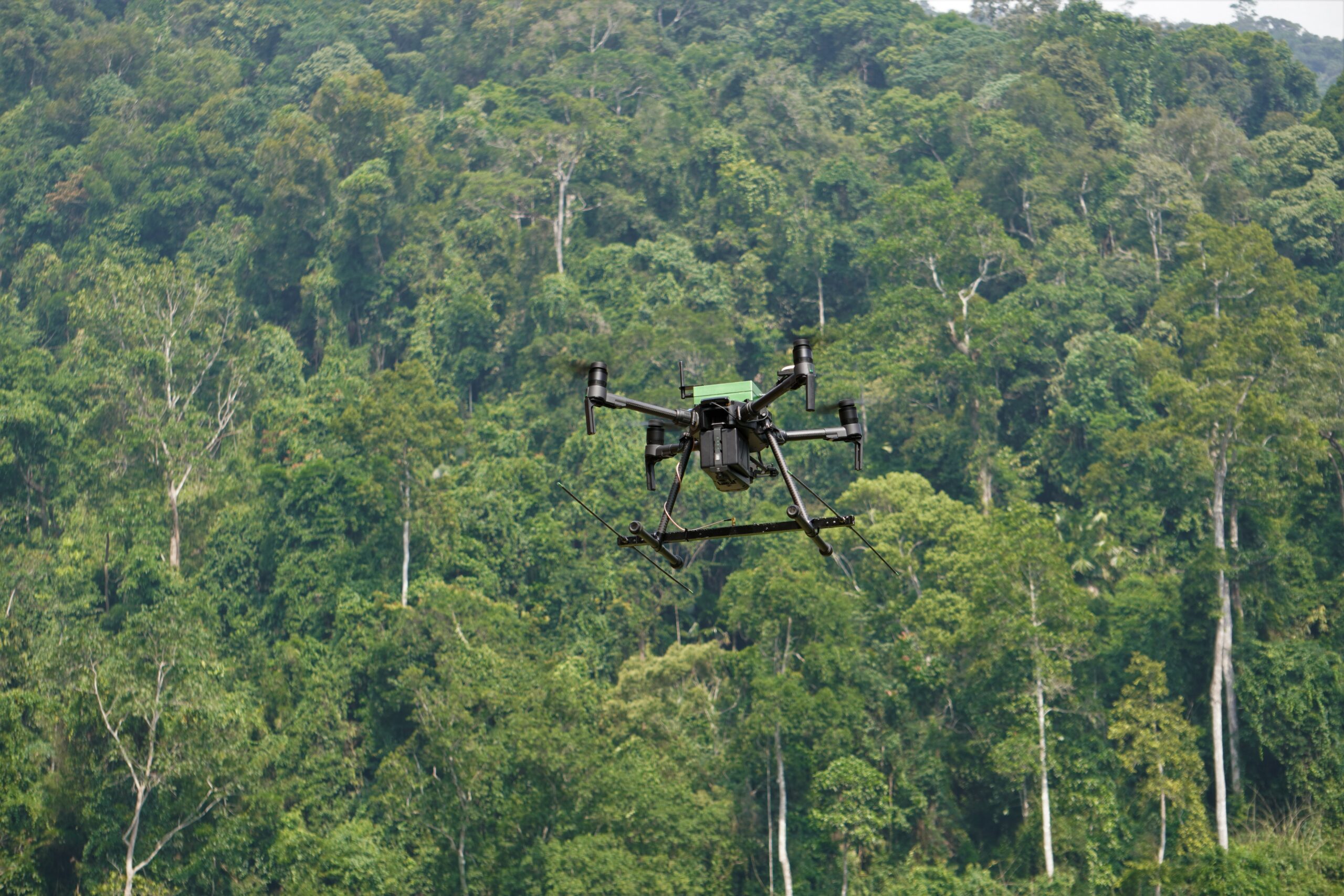
Our state-of-the-art drone solutions are transforming mangrove forest conservation by providing high-resolution aerial data for effective monitoring, restoration, and management. With cutting-edge technology, we empower researchers, conservationists, and environmental agencies with cost-effective and precise survey methods.
Drones play a crucial role in mapping mangrove coverage, detecting deforestation, assessing biodiversity, and monitoring ecosystem health. Our geospatial insights support habitat restoration, climate resilience studies, and early detection of threats such as illegal logging and pollution.
Key Features of Our Mangrove Drone Survey Services

High-Resolution Mangrove Mapping

Real-Time Monitoring of Coastal Erosion

Biodiversity Assessment & Wildlife Tracking

Carbon Sequestration Analysis

Illegal Logging & Land Encroachment Detection

Water Quality & Pollution Monitoring

Mangrove Restoration & Plantation Success Rate

Disaster Risk & Storm Impact Assessment