Revolutionizing Forest Wildlife with Kalibroida
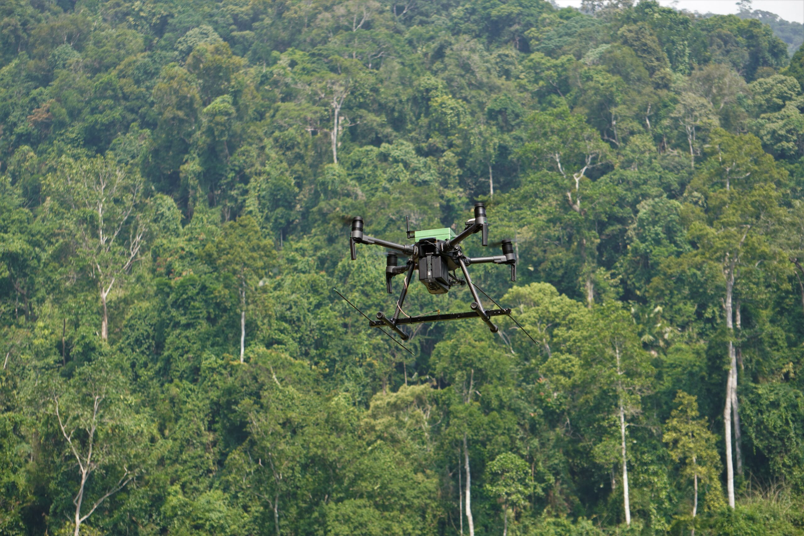
Kalibroida is transforming forest and wildlife conservation by delivering aerial insights and data that are typically difficult or expensive to obtain. Our drone technology provides conservationists with a safer, more efficient, and highly precise alternative to traditional methods.
Kalibroida’s drones play a crucial role in detecting illegal activities, monitoring wildlife, and evaluating forest health. They support reforestation efforts, habitat mapping, and the detection of wildfires and poaching threats. With high-resolution imagery and geospatial data, our solutions enhance forest planning and resource management.